Parked near Mount McKinley national park, I felt like going for a walk while Shannon and Olivia headed off to check out the river.
I was keen to go for a hike and I saw a small rocky peak up behind where we were camped. I wasn't sure if there was a track up there but took a gamble.
I found a track and headed up it. After a while I started to get some altitude and a better view of the town and the river.
When I finally reached the peak half an hour later, it was about 250m above the RV park. The track was obvious but I didn't see any other people.
I climbed up a small crack of rock about 5m high and when I topped out, I heard the tell tail signs of an upset squirrel.
The big mountains were still in the clouds so I couldn't see much of McKinley.
The ridge continued on over a couple more peaks as it would its way up to the high point a ways back. I was trying to decide if I would go right to the top of the ridge where it joined with another one that looked like a possible way down. It was a bit of a risk, not knowing if I could get back that way but it looked likely and if I couldn't, I could always come all the way back.
The parallel ridge also had some nice looking crags on it. All of the
rock was of pretty crap of course because it was often loose and
brittle.

Up at the top of the ridge, I could have followed it up higher to the proper peak but it might have added 2 hours to my journey. It was tempting to jog but the experts say never to run through bear country, lest they figure you for a chunk of meat. There would be a great hike that goes right around the distant ridge but that is a bit larger undertaking, especially with some weather around.
Below, I could see my two options of descent. I decided to take the one on the right.
It was definitely less of a trail but it looked like the trail resumed down lower. Hopefully.
Along with a big eagle that was too far away to get a good photo of, I
met up with what I think was a marmot. I got some good video of him too.
He wasn't too scared of me, but did back up a little at first. Probably
because my loud clapping scared him. I was trying my best not to have a
close encounter with a grizzly and so made a lot of noise and kept out of the trees as much as possible.
Looking back up the ridge was nice. I tried to stay out of the bushes so I could see bears coming if there was any. So far so good.
Up to this point it looked good for just following the ridge down the whole way although the small track was now lost again.
I soon realised that the ridge was heading down in the wrong direction. I remembered that there is a large cutting where it joins the road about 50m high. I was going to have to take a more direct route towards civilization.
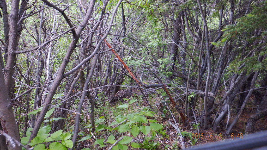
The forest looked pretty thick. In that direction and it was still a fair way to go.
I couldn't hear any bears but I was making a lot of noise. At times, I followed what might have been moose or
Dall sheep tracks. Often they faded out back into scrub that I had to break my way through.
Even though they have bears, at least there are no real snakes or spiders. Some of the branches were gnawed at by something and occasionally I could smell something musky.
I decided to head down towards the creek and follow that out but there was some pretty thick stuff on the way.
When I reached the creek, it was still partly filled with old snow. After a while, the partial animal tracks turned into something that looked obviously human.
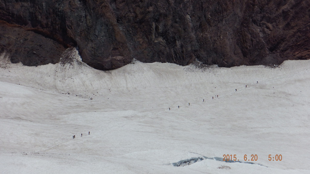
When I reached the bottom, I looked back hat where I had come from. I had gone up to the right of picture and traveled as far as the furthest back point and then back along the ridge to the center
I would love to do a heap more big walks out this way. You could just put on a pack with some overnight gear and keep going.